by Shelly C | May 28, 2015 | Flood Zones
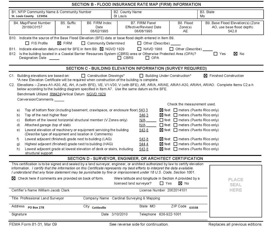
An Elevation Certificate (EC) doesn’t have an expiration date per say, but there are some factors that do play a role in determining if an EC is still “good”. Has the FIRM been updated? The Flood Insurance Rate Maps (FIRM) are updated periodically. The updates...
by Shelly C | May 13, 2015 | Uncategorized
Boundary Surveys Q. What is the difference between a “Stake Survey” and a “Boundary Survey”? A. Nothing! “Stake Survey” is a common name for the legal term of “Boundary Survey.” Q. What is a Boundary (stake) survey? A. Survey Services: Boundary Survey Q. What is a...
by Shelly C | May 6, 2015 | Surveying Related
Adverse Posession – Do you know what you own? The first step to take is to have a boundary survey (aka stake survey) performed on your property. By having a boundary performed, property corners will be clearly and visibly marked for all parties to see. If the...
by Shelly C | May 6, 2015 | Flood Zones
An Elevation Certificate (EC) is a form that was developed by FEMA (Federal Emergency Management Agency). Its purpose is to act as the official record to document the elevation of a building. The form must be completed by a professional land surveyor or engineer. Is...
by Shelly C | May 5, 2015 | Flood Zones
Part 2 An Elevation Certificate (EC) contains a wealth of information regarding a property and its risk of being flooded. The EC is performed by a Professional Land Surveyor or Engineer. This article further discusses the second half of the EC, please refer to the...