by Shelly C | Mar 26, 2015 | Flood Zones
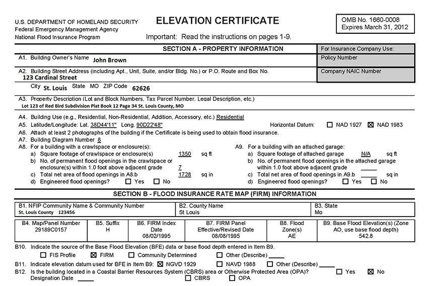
Part 1 An Elevation Certificate (EC) contains a wealth of information regarding a property and its risk of being flooded. The EC is the form provided by the Federal Emergency Management Agency (FEMA) to determine the risk of flooding. The EC consists of 4 pages. Pages...
by Shelly C | Mar 13, 2015 | Flood Zones
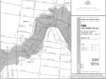
A Flood Insurance Rate Map (FIRM) can be an invaluable asset when looking for information regarding the location of flood zones. These maps depict and show where the water sources in a community are located, along with where it is projected that the water will go in...
by Shelly C | Mar 3, 2015 | Flood Zones
Part 2 FIRM is an acronym for Flood Insurance Rate Map. In Part 1 we discussed Physical Features, Legends and Benchmarks. Next we will explore 3 more areas to be familiar with: Special Flood Hazard Areas (SFHA), Base Flood Elevation (BFE), and Community Information....
by Shelly C | Mar 2, 2015 | Flood Zones
Part 1 of 2 FIRM is an acronym for Flood Insurance Rate Map. A FIRM is used by a multitude of professions who can benefit from the information that the map provides. Those who use FIRMs include professional Land Surveyors, Engineers, Insurance Agents, Community...
by Shelly C | Dec 30, 2014 | Flood Zones
The purpose of the Elevation Certificate is to determine if a property is in the flood zone or is at risk of flooding. Professional Land Surveyors and Engineers are able to provide the services needed to complete an Elevation Certificate (EC). The cost for these...