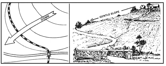
When a boundary survey is prepared, we are typically just concerned with what is happening with the property on a horizontal plane. We don’t take into account the “highs and lows” or elevation change on the property. If you want to know more information about your...
In order to create a contour map or a topographic map, the data and information obtained by the surveyor must be not only horizontally accurate, but also vertically accurate. A single point of reference, called a benchmark is used as a basis for the vertical data...
When a boundary survey is prepared, we are typically just concerned with what is happening with the property on a horizontal plane. We don’t take into account the “highs and lows” or elevation change on the property. If you want to know more information about your...
Also known as a “topo” or “survey with contours.” Who Uses Topographic Surveys: Engineers, Architects and Landscape Architects Grading companies Municipalities FEMA We perform Topographic Surveys on the following types of properties: ...