
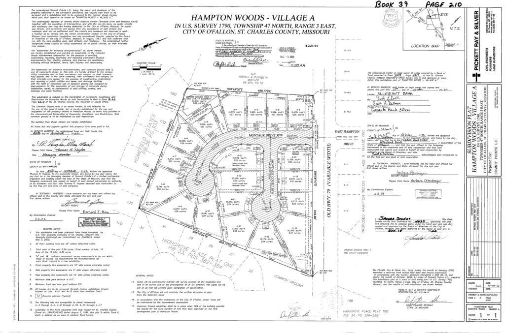
Subdivision plats are the basis of almost all surveying, especially in urban areas where the legal descriptions are tied to a subdivision. When we survey “Lot 3 of Countryshire Estates”, the recorded plat of Countryshire Estates holds a majority of the information we need to survey the lot. It contains key information such as the following:
- Lot Dimensions – Each lot is labeled with bearings and distances which help surveyors establish the size and location of the lot.
- Easements – The subdivision plat states all of the utility companies and rights of the easement use on the lots located within the subdivision. The plat also states the width and location of the easements on the lots. The easements are typically set by planning and zoning, but can also be previously existing as well.
- Building Lines – The subdivision plat states and shows the location of the building line setbacks and side yards as determined by planning and zoning.
- Right of Way and Street Information – The plat states the legal names of the streets, width of the streets, and locations of the streets.
For most surveyors, the record plat of a subdivision is the starting point in the surveying process. Subdivision plats are recorded documents and are available through your local Recorder of Deeds office located at your county court house. Cardinal Surveying has copies of thousands of subdivision plats in the greater St Louis metro area and we’re happy to help you if we can!