by Shelly C | Nov 15, 2018 | Surveying Related
The Surveyors Real Property Report (SRPR) and “spot” survey are one and the same. The term SRPR is the legal term to identify the report. The term “spot” is the layman’s term. There are many factors that can contribute to the cost of a SRPR. Some of the most common...
by Shelly C | Oct 18, 2018 | Surveying Related
The data that a surveyor obtains when performing a topographic survey can be shown in a series of lines called contour lines. The proximity of these lines to one another is a direct correlation to the “peaks and valleys” that occur on the property. Here is some...
by Shelly C | Sep 20, 2018 | Surveying Related
A topographic survey typically shows contour lines of a property. Those contour lines have elevations assigned to them. The elevations are shown in relationship to the benchmark that has been established on the property and can be reported in one of two ways: Assigned...
by Shelly C | Aug 21, 2018 | Surveying Related
In order to create a contour map or a topographic map, the data and information obtained by the surveyor must be not only horizontally accurate, but also vertically accurate. A single point of reference, called a benchmark is used as a basis for the vertical data...
by Shelly C | Aug 2, 2018 | Flood Zones
The Senate approved a bill this week, and the president signed it, to keep the National Flood Insurance Program operating for four more months. Find out why NAR is still urging for reforms to make the program solvent and sustainable for the long term. Full article:...
by Shelly C | Jul 18, 2018 | Surveying Related
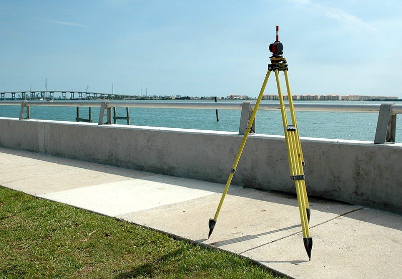
When a boundary survey is prepared, we are typically just concerned with what is happening with the property on a horizontal plane. We don’t take into account the “highs and lows” or elevation change on the property. If you want to know more information about your...
by Shelly C | Jun 14, 2018 | Flood Zones
An Elevation Certificate (EC) contains a wealth of information regarding a property and its risk of being flooded. The EC is performed by a Professional Land Surveyor or Engineer. This article further discusses the second half of the EC, please refer to the image...
by Shelly C | May 17, 2018 | Flood Zones
Part 1 An Elevation Certificate (EC) contains a wealth of information regarding a property and its risk of being flooded. The EC is the form provided by the Federal Emergency Management Agency (FEMA) to determine the risk of flooding. The EC consists of six pages....

by Shelly C | Apr 17, 2018 | Surveying Related
We recently ran into a situation where an experienced REALTOR® ran into a situation where she was being advised that “the surveying company is wrong” stated by an employee who works in the Assessor’s office. She was also told that our boundary survey did not match...
by Shelly C | Mar 19, 2018 | Surveying Related
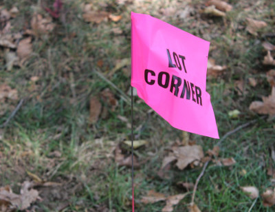
Owning property can be a complex situation. What you can do with it depends, in part, on where the property line ends and where it is situated. We have broken it down to three very important things to think about when determining what you can do with your property and...