by Shelly C | Feb 18, 2016 | Radio & TV
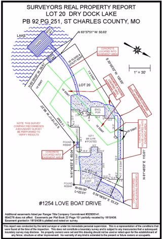
Shelly Clark tells us what the differences are between the survey types and surveyor’s real property reports. SRPR, Boundary Surveys, Easements

by Shelly C | Feb 18, 2016 | Surveying Related
A title commitment is the document that a title insurer prepares which shows all of the liens, defects, burdens and obligations that a piece of property and its buyers and sellers have. A survey company reviews this document and uses several portions of the document...
by Shelly C | Feb 1, 2016 | Surveying Related
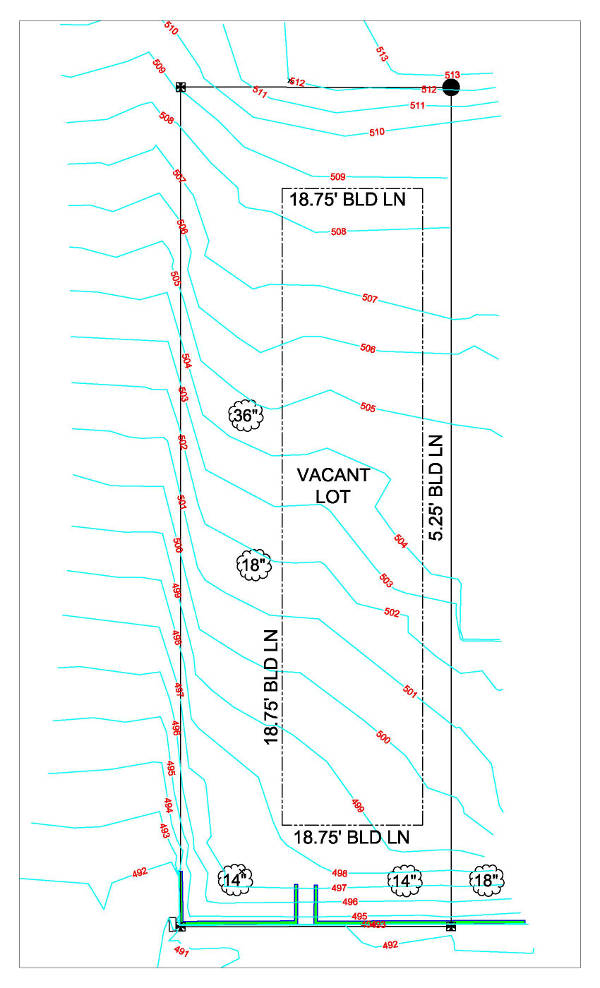
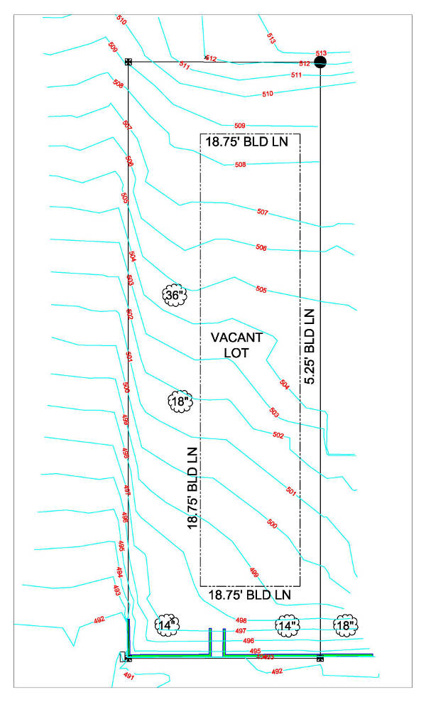
A topographical survey shows a 3-D depiction of land on a 2-D product. There are many reasons as to why this information can assist a property owner. Here are a few of the main reasons: To build on. If you have a vacant piece of property, the topographic survey can...
by Shelly C | Dec 9, 2015 | Surveying Related
We live in a 3 dimensional world. Yet when a property survey is made, the results are shown via a 2 dimensional product – good ole paper and ink. A Topographical Survey is a 2-D representation of what is happening in the real world (3-D). The characteristics of...
by Shelly C | Oct 15, 2015 | Surveying Related
The purpose of a boundary survey is to mark and identify where your property corners are located. Simply put, it shows you where your property begins and ends. When a boundary survey is completed by a professional land surveyor, a drawing is generated to show the...