Get a free quote

636.922.1001

inbox@cardinalsurveying.com

  • Surveys
    • Boundary Survey
    • Alta ACSM Surveys
    • Surveyor’s Real Property Report
    • Topographic Surveying
    • Plot Plans
  • Elevation Certificates
    • Flood Insurance and Elevation Certificates
    • FEMA / FIRM
  • Blog
    • Surveying Related
    • Flood Zones
    • Commercial
  • F.A.Q
  • About us
  • Videos
Does an Elevation Certificate Expire?

Does an Elevation Certificate Expire?

by Shelly C | Apr 13, 2022 | Elevation Certificate, Flood Zones, Surveying Related

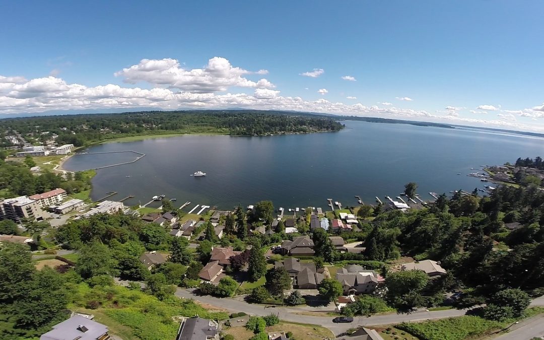
An Elevation Certificate (EC) doesn’t have an expiration date per say, but there are some factors that do play a role in determining if an EC is still “good”. First thing to keep in mind is to consider if the FIRM been updated? The Flood Insurance Rate Maps (FIRM) are...
No house on the lot? That’s not what I thought I was purchasing!

No house on the lot? That’s not what I thought I was purchasing!

by Shelly C | Mar 22, 2022 | Boundary survey, Flood Zones, Surveying Related, Title Insurance

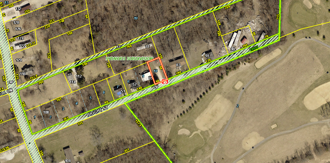
To date, Cardinal Surveying & Mapping has performed over 35,000 surveys in the greater St Louis area. Out of all those surveys rarely do we come across something as drastic as what we found a while back that is still worth mentioning! Here’s the quick version: A...
When You Own Property a Fence Won’t Determine Your Property Lines

When You Own Property a Fence Won’t Determine Your Property Lines

by Shelly C | Jan 18, 2022 | Boundary survey, Common Ground, Stake Survey, Surveying Related

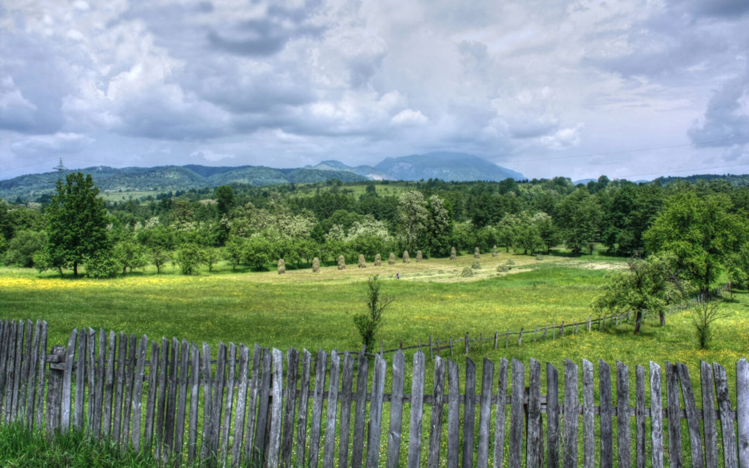
Owning property can be a complex situation. What you can do with it depends, in part, on where the property line ends and where it is situated. We have broken it down to the most important things to think about when determining what you can do with your property and...
Let’s Go Back To Basics…What Is the Definition of a Land Survey?

Let’s Go Back To Basics…What Is the Definition of a Land Survey?

by Shelly C | Nov 17, 2021 | Surveying Related

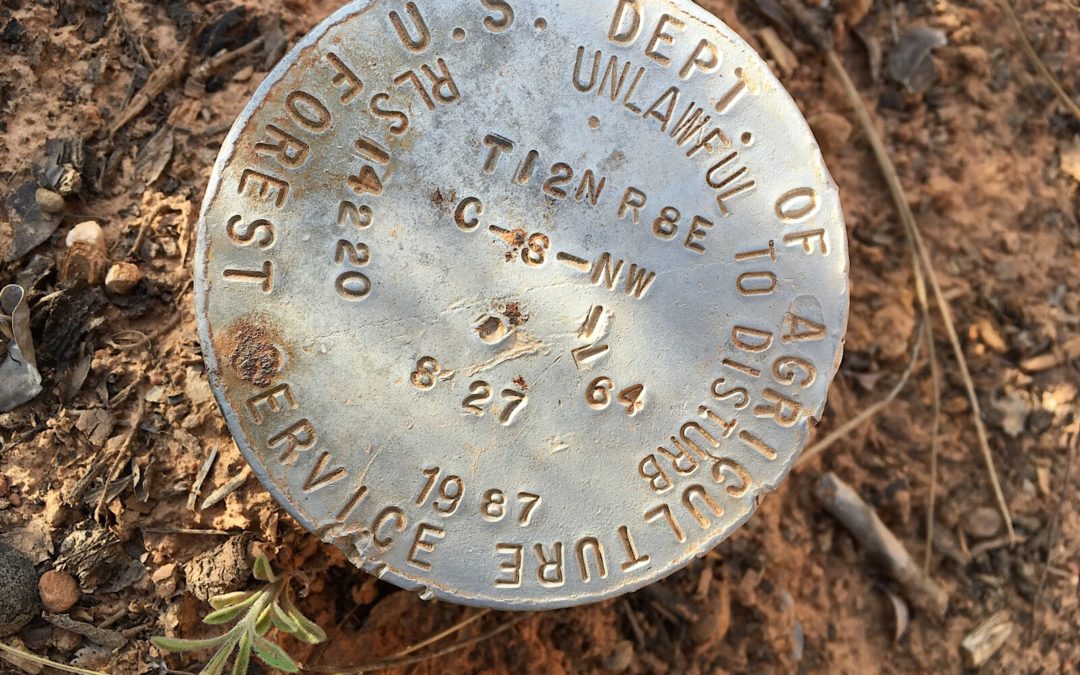
Yes, it may sound silly but I think it’s a good time to revisit what a Land Survey is and the importance with understanding what it is and how to communicate it to your clients. What Exactly Is a Land Survey? A land survey is a combination of three things: science, a...
It’s Halloween and a Perfect Time to Talk Survey Nightmares: What Is A Common Ground Myth?

It’s Halloween and a Perfect Time to Talk Survey Nightmares: What Is A Common Ground Myth?

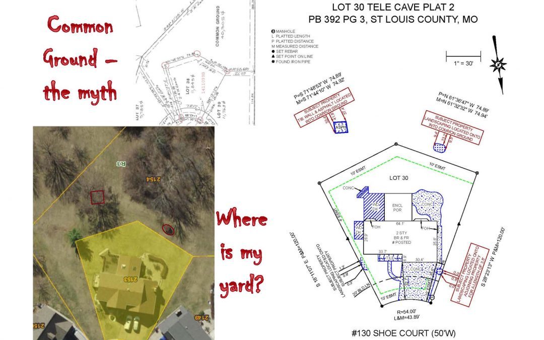
by Shelly C | Oct 25, 2021 | Common Ground

The words “common ground” always throws up a red flag to me. While common ground provides more “space” between you and your neighbors, it doesn’t mean that the land is for your private use and benefit. Common ground is typically deeded to subdivision associations and...
« Older Entries
Next Entries »

Search

Recent Posts

  • Building in an Easement? Don’t Risk It!
  • “My Neighbor Said They Had a Survey” Why Boundary Surveys Matter
  • Built a New Home? Don’t Skip This Critical Survey Step
  • Boulder Overboard: When Assumptions About Property Lines Go Wrong
  • How to Order and Process Survey

Categories

  • ALTA Survey
  • Assessor
  • Benchmark
  • Boundary survey
  • Commercial
  • Common Ground
  • DIY
  • Drone
  • Easement
  • Elevation Certificate
  • Encroachment
  • Flood Zones
  • Land Surveying
  • National Society Of Professional Surveyors
  • NSPS
  • Property Lines
  • Radio & TV
  • Stake Survey
  • Surveying Related
  • Title Insurance
  • Topographic
  • Uncategorized

Cardinal Surveying & Mapping, Inc 

PO Box 278
Cottleville, MO 63338

ph: 636.922.1001

inbox@cardinalsurveying.com

Surveys

Boundary Surveying
Real Property Report
ALTA and ACSM Surveys

Our Site

About Us
Blog
FAQs

Opening hours

Mon – Fri – 8:00 – 05:00
Sat-Sun – Closed

Follow us

  • Follow
  • Follow
  • Follow
  • Follow
  • Follow

Copyright 2025| designed by The One Provider LLC