by Shelly C | Jul 13, 2023 | Uncategorized
GIS Map information Input the property address into the search bar at the top right corner; select the property from the list created on the left side of the screen (if there are multiple options); click on the gray arrow next to the parcel id to generate the map....

by Shelly C | Jul 13, 2023 | Boundary survey
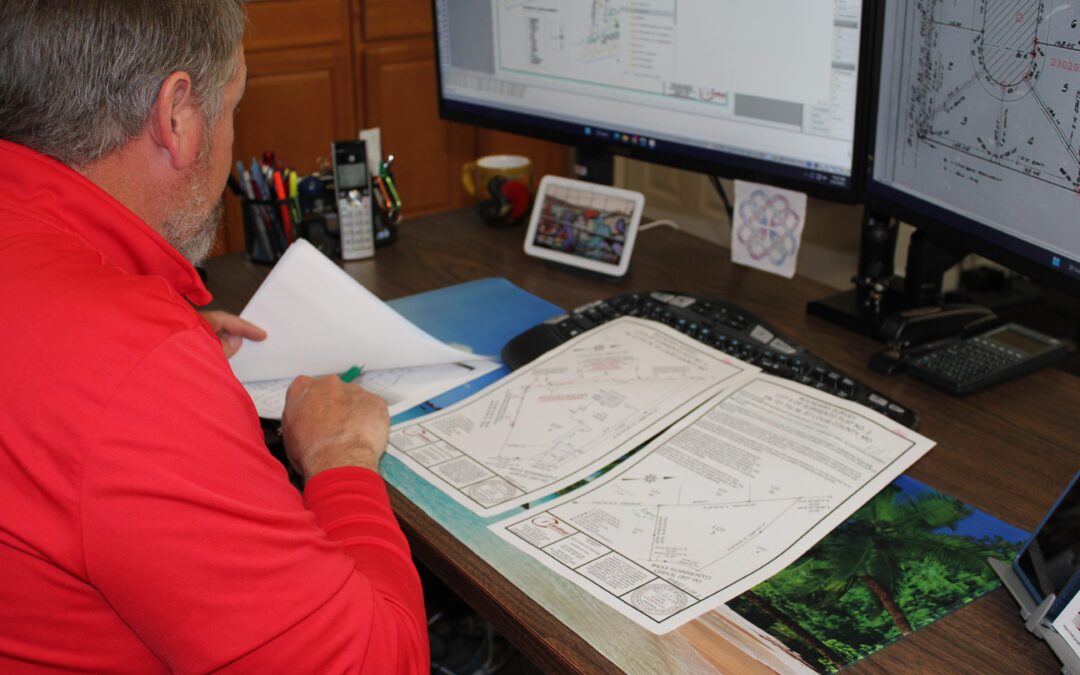
There are three main components of having a survey performed: research, fieldwork, and publishing the results. There are many reasons why a drawing is needed when having a survey performed. Here are a few of the main points. Missouri State statute. We produce a...
by Shelly C | Jun 27, 2023 | ALTA Survey, Commercial, National Society Of Professional Surveyors, NSPS, Surveying Related
NSPS is the acronym for the National Society of Professional Surveyors. There is a state association (Missouri Society of Professional Surveyors- MSPS) as well as a local chapter for Saint Louis. The NSPS merged with the American Congress on Surveying and Mapping...
by Shelly C | Jun 27, 2023 | Land Surveying, Surveying Related
There are three main components of having a survey performed: research, field work, and publishing the results. There are many reasons why a survey drawing is needed when having a survey performed. Here are a few of the main points. Missouri State Statute. We produce...
by Shelly C | May 16, 2023 | ALTA Survey, Boundary survey, Commercial
In the world of surveying there are three main types of classifications of property: residential, commercial, and industrial. Each one of those classifications has its own specific unique characteristics that can be identified as a professional land surveyor performs...